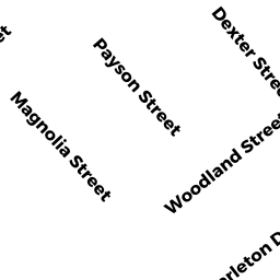
15 PAYSON ST
Owner Information
SHEA EDMUND J & JOYCE E TRS
15 PAYSON ST
NEWBURYPORT, MA 01950


Property Details
15 PAYSON ST is classified as a Single Family Residential (Ranch).
The primary structure on this property was built in 1952. There are 2,985ft2 of built area within this property. There is 1,408ft2 of residential/living space within this property. This property is listed as having 60 rooms.
15 PAYSON ST is valued at $415,000. The land is valued at $220,300 and the structures are valued at $194,700.
This property is in Zone R3. Confirm with local Zoning Board authorities to ensure there are no overlays or other easements on this property.
The most recent deed for 15 PAYSON ST is recorded at the local registrar in Book 29984, Page 417. 15 PAYSON ST was last sold on Friday, November 19, 2010 for $0.
Assessment data from fiscal year 2021.
Flood Data
According to the FEMA National Flood Hazard Layer, this property does not appear to be in a flood zone. It may also be in an area not yet reviewed. Nonetheless, confirm this information prior to taking any action.
To view the flood hazards around this property, create a FEMA "Firmette" Map of the area around 15 PAYSON ST.
Broadband Internet Providers
| Provider | Type | Bandwidth (mbps) | |
|---|---|---|---|
| Viasat Inc | Satellite | 100 | 3 |
| VSAT Systems, LLC. | Satellite | 2 | 1 |
| HughesNet | Satellite | 25 | 3 |
| GCI Communication Corp. | Satellite | 0 | 0 |
| T-Mobile | Fixed Wireless | 25 | 3 |
| Comcast | Cable | 1000 | 35 |
| Verizon New England Inc. | DSL | 10 | 1 |
Broadband service provider data from December 2020.
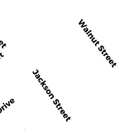
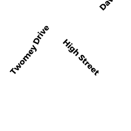
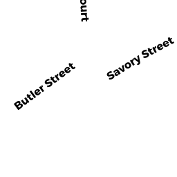
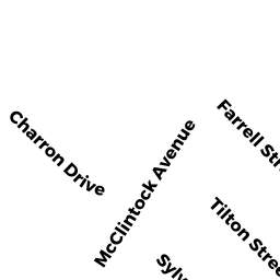
Adjacent Properties
- 13 PAYSON ST
Single Family Residential owned by RICHARD CHRISTOPHER - 20 MAGNOLIA ST
CONDO MDL-05 owned by FERGUSON KRISTI - 18-20 MAGNOLIA ST
Other, Open Space owned by CONDO MAIN - 18 MAGNOLIA ST
CONDO MDL-05 owned by GORSKI GARY A - 16 MAGNOLIA ST
Single Family Residential owned by GADMAN LYDIA M - 17 PAYSON ST
Other, Open Space owned by CONDO MAIN - 17 PAYSON ST UNIT 1
CONDO MDL-05 owned by WYTHOFF BARRY J - 17 PAYSON ST UNIT 2
CONDO MDL-05 owned by VANDENBURG SUSANNA M